Gabriola’s parks and reserves
Gabriola has several different types of parkland: BC provincial parks, Regional District of Nanaimo (RDN) parks (ranging from large community parks to tiny neighbourhood “pocket” parks), and Nature Reserves managed by the Islands Trust Conservancy.
What’s the difference between a park and a reserve?
In answer to GaLTT’s query about the difference between a park and a reserve, Kate Emming (an Ecosystem Protection Specialist for the Islands Trust Conservancy, then called Islands Trust Fund) wrote:
“The philosophy behind the distinction is in the intended primary use of the land. The Islands Trust Fund Nature Reserves are intended to be for the conservation of the natural values of the land rather than for public recreation and use. A good comparison comes from the BC Parks system which has “parks” and “Ecological Reserves.” Our Nature Reserves are closer to an “Ecological Reserve.”
Whether nature reserves are open to the public is variable. The ITC recognizes the importance of human access to nature, so many reserves do not restrict access, though they are not promoted as destinations because there is a desire to keep usage light for ecological reasons. Other reserves are closed to the public and managed solely for their ecological values.
Click the link boxes below to go to specific park categories…
Visit our Trails and Maps page for details on walks in parks and elsewhere, and our Landscape pages for information on the ecology and geology represented in our parks.
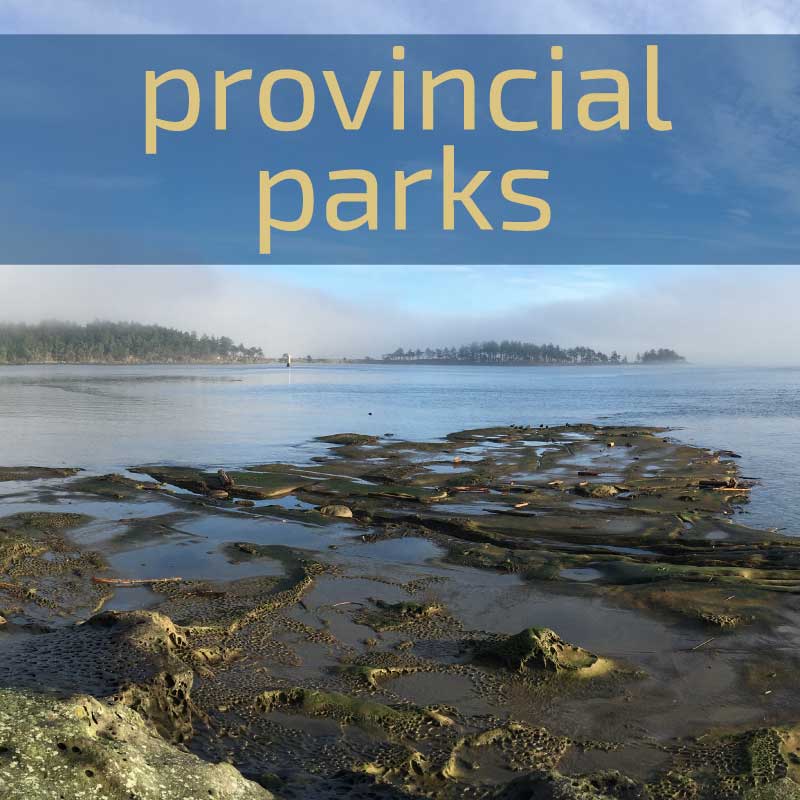
PROVINCIAL PARKS
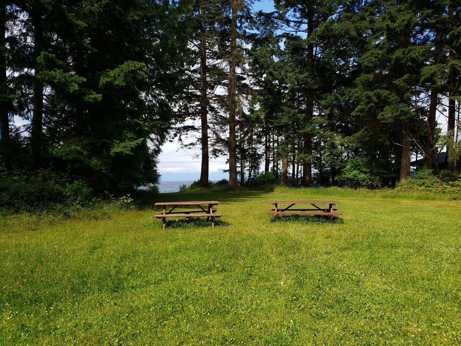
Gabriola has three provincial parks, all with beaches. None of them allow overnight camping, but they all have picnic areas.
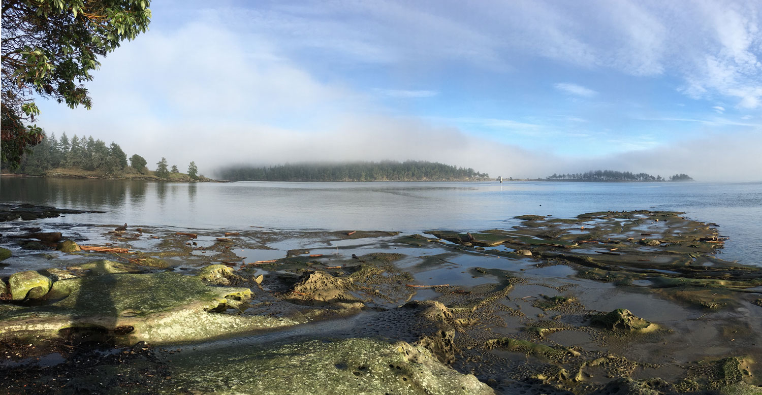
Drumbeg
At the southeast end of the island is 20-hectare (49-acre) Drumbeg Provincial Park, established in 1971. The Government website describes it as “a favorite spot for diving, hiking, nature viewing, and picnicking”. Much of the park is forested, but one end of the park overlooks Gabriola Passage, which has extremely strong tidal currents, and there are picnic tables and pit toilets close to a swimmable sandstone beach not far from the parking lot.
The park has a Garry Oak meadow system with camas lilies, which became badly invaded by Scotch broom and Himalayan blackberry. GaLTT volunteers have been working hard with provincial staff to rid the park of these invasive plants over the last few years and are now working to restore the meadow. The edges of the forest have also become infested with periwinkle and toxic Giant Hogweed.
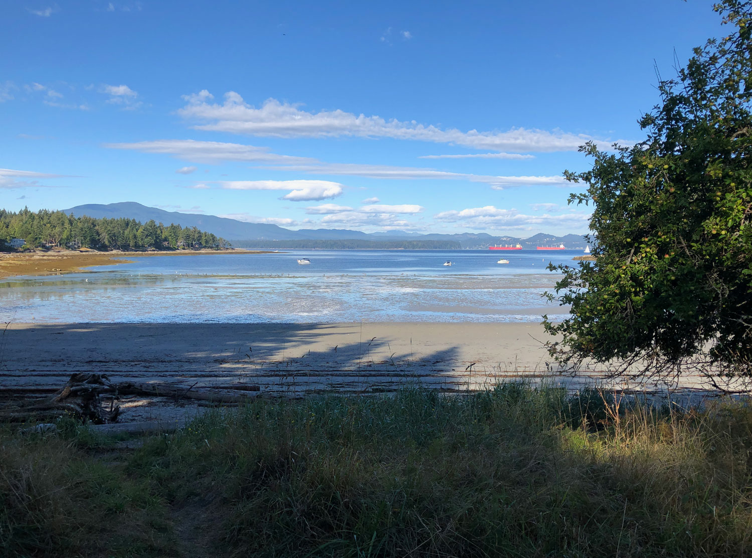
Gabriola Sands (Xwcumi:lucun)
Gabriola Sands is locally called Twin Beaches, because it fronts onto both Taylor Bay (facing Nanaimo) and Pilot Bay (facing the Georgia Strait and mainland mountains). This 6-hectare (15-acre) park is in an area long used by Gabriolans and visitors for picnics. The government website describes it as “an ideal place to relax and enjoy a picnic or swim“. The isthmus with its sandy beaches is unusual in the Gulf Islands, and provides an important ecosystem for migratory birds.
It became a park in 1960, before the Twin Beaches subdivision was developed, but it has been a gathering place for time immemorial because it is on the site of a significant Snuneymuxw First Nations village. Pilot Bay is where the Spanish explorers’ ships arrived in 1791 and 1792.
The park has safe, sandy beaches, picnic tables, a grass playing field, and pit toilets. GaLTT and Lions Club volunteers upgraded the parking lot, trail surfaces, picnic table, and outhouse on the Pilot Bay side in 2021 to make them wheelchair (and stroller!) accessible.
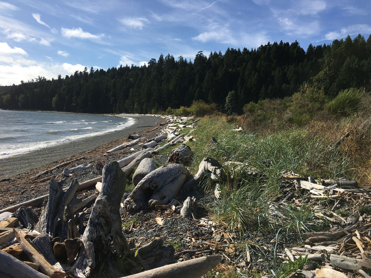
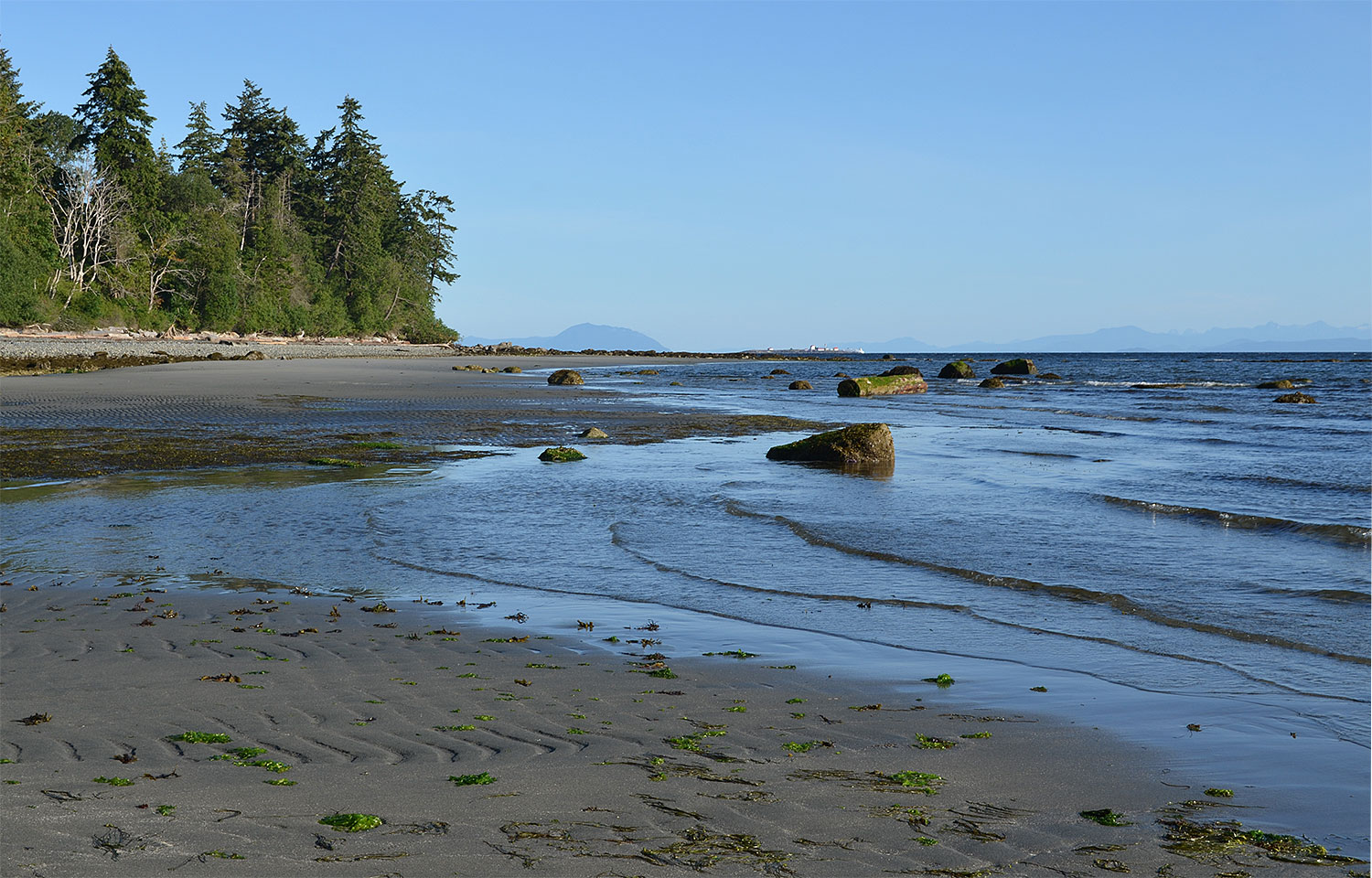
Sandwell
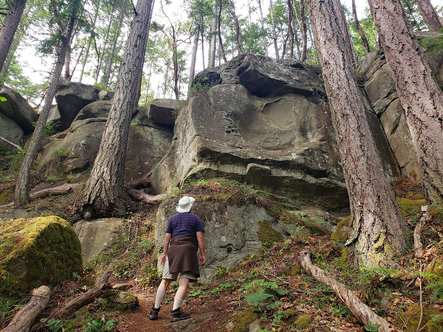
In 12-hectare (29-acre) Sandwell Provincial Park, a steep forested trail leads down to a long sandy beach on Lock Bay, looking out across the Strait of Georgia. The park was established in 1988 to protect a shell midden and a petroglyph that can be approached only at low tide. There are picnic tables and pit toilets near the lovely swimmable (no lifeguards!) beach.
Please note that the saltmarsh behind the beach, which provides important bird habitat, is on private land.
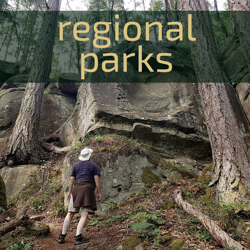
RDN PARKS
RDN Parks Services administers regional and community parks and reserves on Gabriola Island for the Regional District of Nanaimo. Our electoral area is Area B, which includes Gabriola, Mudge, and De Courcy Islands. Our area’s Parks and Open Spaces Advisory Committee (POSAC) includes community representatives, and has a program of park development and maintenance.
Regional Parks are created and designated to serve the whole region within which they reside. Coats Marsh and Descanso Bay are the only Regional Parks on Gabriola.
Community parks are acquired through land development, purchases, donation, or transfer of crown land from the province. Each electoral area in the RDN can have community parks, but their park budgets vary. Gabriola currently has 27 community parks, six of which are waterfront parks. Two (Cox and 707 Park) are significantly large, but most are very small “pocket parks“—the smallest being only 0.1 hectare (0.25 acre).
Most often, pocket parks result from agreements to provide some green space when subdivisions are built. Usually they are left in a wild state, but sometimes neighbours “adopt” them, keeping them trimmed and free of nuisance plants. In 2020/21 a great deal of work was done by neighbours and GaLTT volunteers to remove a huge infestation of Daphne laurel from the several small, well-used community parks along Whalebone Drive.
In 2002, after a successful referendum, the RDN borrowed $500,000 to purchase from the Coastal Community Credit Union the land now called Cox Community Park. At the same time, they spent another $500,000 of regional park funds to buy what became Descanso Bay Regional Park. The two parks occupy the same roughly rectangular block of land although they are administered differently within the RDN.
707 Community Park
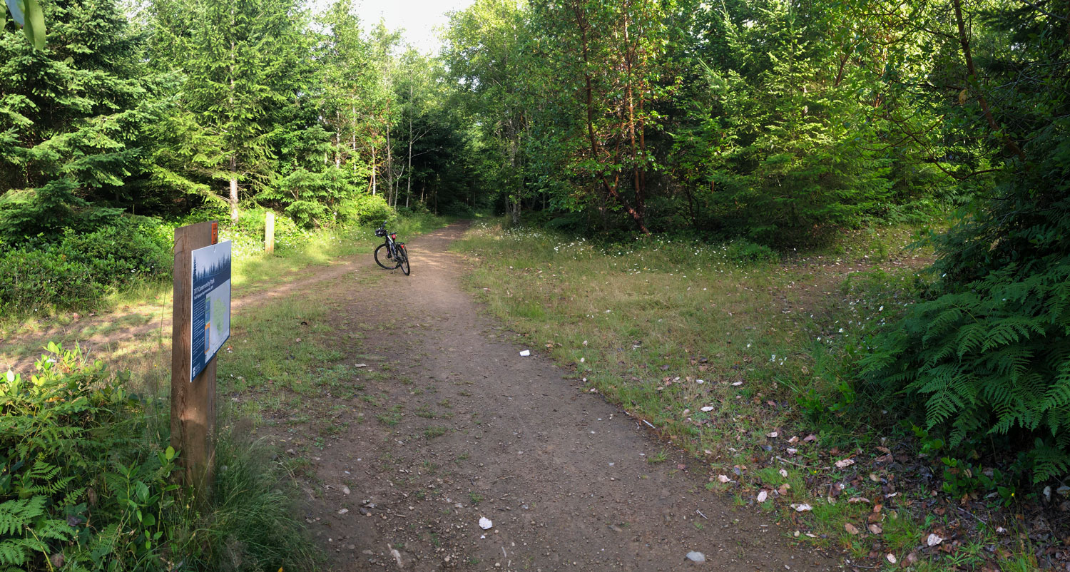
This wilderness recreation park is Gabriola’s largest at over 460.3 hectares (1137 acres). It is situated at the highest part of our island. It became possible when the Islands Trust and the RDN negotiated a density-transfer rezoning agreement in 2005 with three property owners, Glenna Borzuk, Don Gately, and Mike Jenks. The agreement transferred to the community approximately 707 acres (hence the name) of previously logged forest land in the centre of the island.
In 2018, another 138 hectares (341 acres) of adjacent land was added to the park through a density transfer agreement with land-owners Dr Bob Rooks and Brian Henning. In 2020, GaLTT contributed $57,000 to RDN’s acquisition of the small remainder parcel from the 2018 deal, which included the east end of Coats Marsh and much of its water catchment area, as well as more key connector trails. A further $100,000 was contributed by GaLTT toward a 2024 acquisition that added the “Wilkinson Woods” property to the park.
Logged in the 1990s and early 2000s, the forest is being left to regenerate naturally while allowing safe trail access to walkers, cyclers, and horseriders. In 2019, RDN (with GaLTT volunteers’ help) installed 89 new numbered signposts at trail intersections to aid navigation in the complex trail system. The enlarged park has over 40 km of interconnected trails.
Note: There are no washroom facilities in this large park.
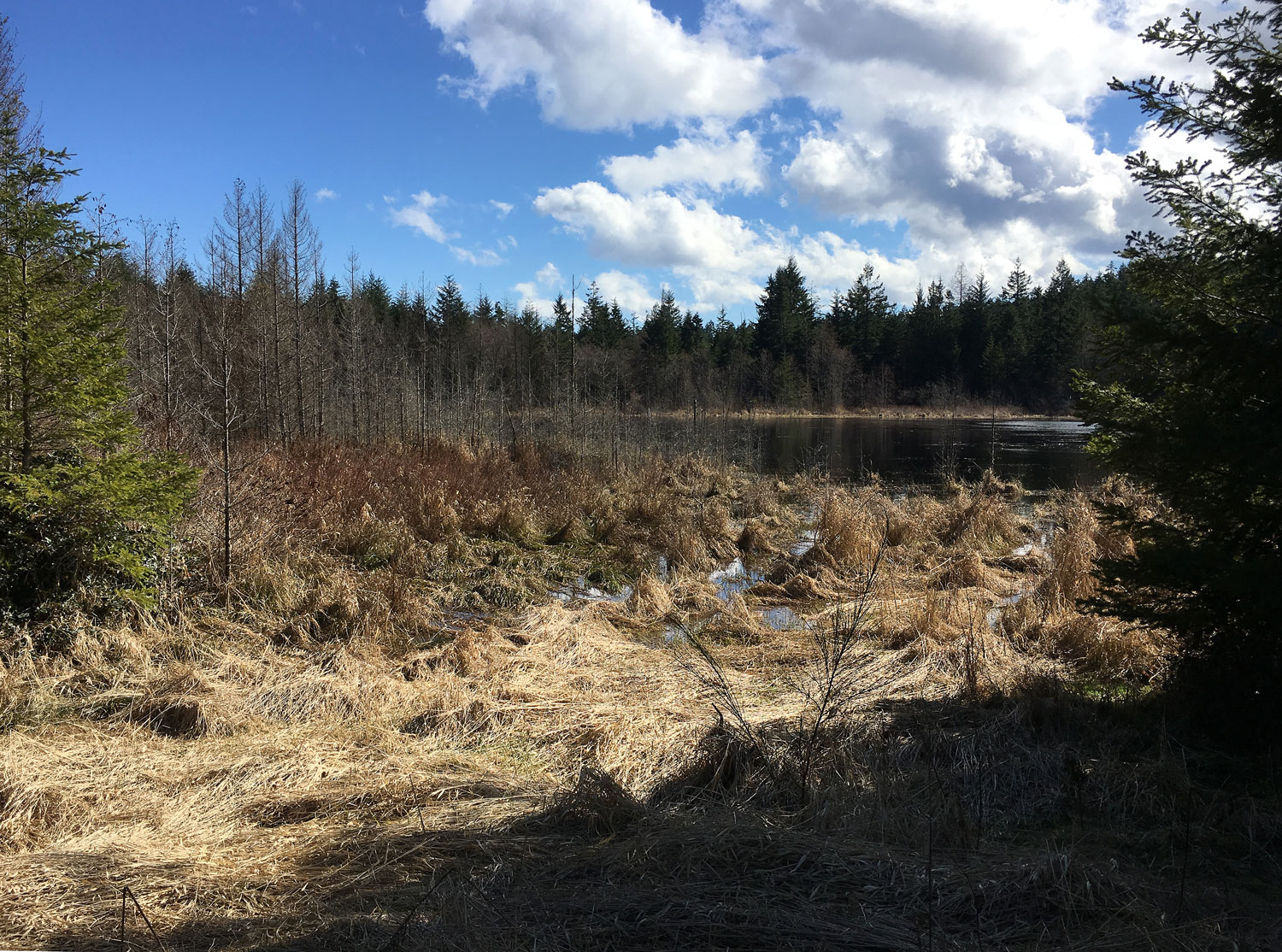
Coats Marsh Regional Park
This 45-hectare (111-acre) parcel of forest and wetland is situated south of 707 Community Park, connecting directly to it. It was acquired from the Coats family in 2008 through a partnership between the Nature Trust of BC, the RDN, and the BC Trust for Public Lands. It has a significant wetland and a rare stand of coastal Douglas Fir. There is a substantial beaver dam near the west end of the marsh pond. Access points to the marsh are shown in the map below of 707 Community Park. Gabriolan Nick Doe studied the area closely and regularly between 2015 and 2020. Click the following links to download his findings about the park’s flora, fauna, and geology.
MANAGEMENT PLAN: The management plan developed by the RDN says the following about the park’s historical and ecological significance:
“Prior to its designation as a Regional Park, Coats Marsh RP was a parcel of farmland owned by the Coats family and known locally as the Stump Farm. Recognizing the significant conservation value of the property, Clyde Coats donated half the value of the current Coats Marsh RP parcel to The Nature Trust of BC (TNT) through the Environment Canada Ecological Gift’s program.
Although Coats Marsh Regional Park is largely undeveloped with a limited formal trail system and signage close to the water, evidence of the park’s history and former uses are found throughout the site. An old, abandoned barn and a small log cabin* located in the northeast corner of the park (the ‘Stump Farm’) remembered by local residents as the site of a commune in the 1960s and 1970s.“
*Note: In 2016/8 the RDN demolished the Stump Farm barn and cabin to allow the site to reforest naturally.
HISTORY: Aula Bell and Neil Aitkin wrote in “Gabriola Placenames” that John Olsen cut poles along the Akenhead Trail before buying the Gabriola land that became Stump Farm, and cutting poles there. In the early 1940s, a major forest fire destroyed his pole pile and he sold the land to Bill Coats who blasted a slot to drain the marsh.
Coats Marsh is slowly recovering from human activities including logging, burning, drainage, and flooding, and is again a peaceful place where indigenous plants and widlife thrive. In September 2021 the RDN Parks Department (with the approval of the Nature Trust of BC) installed syphons to bring down the water level following several years of successful beaver dam-building.
Cox Community Park
Community involvement in Cox Community Park’s development was formalized in June 2003 with the inauguration of Electoral Area B’s Parks and Open Spaces Committee (POSAC). This was the year before GaLTT’s formation. Community members (many of whom became founder members of GaLTT) worked with the RDN to create a new 400-metre section of trail connecting a new park entrance at River Place with the existing main park trail to Taylor Bay Road. Read here a more detailed history of Cox Park’s early days.
In the Fall of 2004, newly formed GaLTT worked with community volunteers and the RDN to clear a new “YOGI Trail” parallel to Taylor Bay Road, and it opened the following spring. (“YOGI” stands for Youth of Gabriola Island and they were responsible for the boulder-built figure overlooking Taylor Bay Road in that area.)
In 2014, GaLTT opened a new trail loop at the south side of the park giving a view of the man-made lake on an adjoining property and following the upper part of Mallett Creek. GaLTT continues to help maintain trails and build boardwalks throughout the park, and provide signage. In recent years they have also installed a couple of resting benches on Mallet Creek and Yogi trail loops.
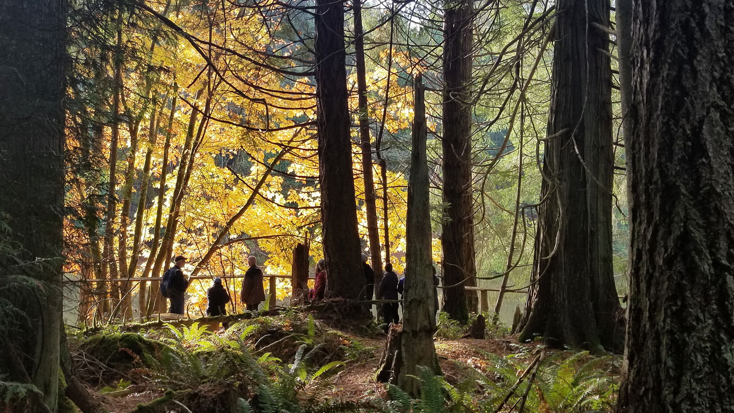
Descanso Bay Regional Park and Campground
This 16-hectare (40-acre) oceanside park has Gabriola’s only public campground with forested tent and RV sites. There are gently sloped sandstone beaches in three coves that are sandy at low tide, offering abundant oysters. There are good trails through its forests, and because it is adjacent to Cox Community Park, the trail system extends inland. In recent years the day-use beach area has had accessibility improvements made to the parking, outhouses, and picnic tables. Beach accessibility remains problematic because of large seasonal driftwood logs.
Huxley Recreational Community Park
RDN Parks website reports: “Huxley Park was created in 1987, as a result of the development of Folklife Village. The Gabriola Recreation Commission Association (which ultimately became the Gabriola Island Parks and Recreation Commission and then the Huxley Park Sports Association) leased the green space from Brenda Huxley and coordinated the construction of the tennis courts in 1989. The sport court was built by volunteers and completed in 1994. The Huxley Park Sports Association, with help from the Ball Hockey club continued to monitor and maintain the Park until it was donated to the Regional District of Nanaimo as a community park in 2011. …A new playground space with equipment for both the 2-5 and 5-12 age groups was completed in November 2017. This initiative was made possible through contributions from the Gabriola Lions Club and by the Community Fund for Canada’s 150th, a collaboration between the Nanaimo Foundation, the Government of Canada, and extraordinary leaders from coast to coast to coast.”
A long-awaited skateboard facility was opened at Huxley Park in the summer of 2022 and immediately became a beloved and much-used amenity.
Joyce Lockwood Community Park
“Whalebone Beach” at Joyce Lockwood is a favourite destination for locals and visitors alike. Cobblestone at high tide with rocky areas, it has a large sandy beach that is excellent for swimming at low tide. Access is by rough trails leading down from the trail running above the beach. At low tide you can walk back along the shoreline to connect to other Whalebone area pocket park accesses—look for yellow markers.
Rollo McClay Recreational Community Park
The Rollo McClay Community Park was created in 1990 as part of a residential subdivision. It is on the north side of Gabriola and is accessed from McClay Way. Trails in the park connect the parking lot to Horseshoe Way, McClay Way, and Ritchie Road. Its ball-field and concession stand were operated and maintained by Gabriola Island residents until the Regional District acquired the 7.8-ha (19-ac) park later in the 1990s. Potable water is supplied to park users in the concession building. For information on booking the park, please contact RDN Parks at 1-888-828-2069.
Pocket Parks
There are also numerous “pocket parks” all around Gabriola Island. Some, like the one near the school-bus shelter on South Road downhill from the Community Hall, are quite tiny. Paisley Park is close to the village centre and connects the school grounds via a “linear park” trail north to the new park west of the clinic. Most often, pocket parks result from agreements to provide some green space when subdivisions are built. Usually they are left in a wild state, but sometimes neighbours “adopt” them, keeping them trimmed and free of nuisance plants. In 2020/21 a great deal of work was done by neighbours and GaLTT volunteers to remove a huge infestation of Daphne laurel from the several small, well-used community parks along Whalebone Drive.
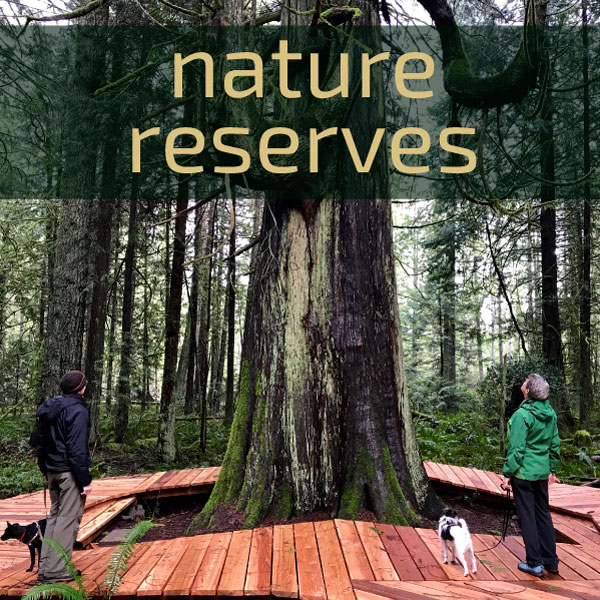
NATURE RESERVES
Nature Reserves are managed with conservation as the primary goal, which means that some recreational uses may be limited and in some cases they may be closed to the public. There are three Nature Reserves on or near Gabriola, all managed by the Islands Trust Conservancy. Only one of them is open to the public.

Link Island
Link Island Nature Reserve is located between Mudge and DeCourcy Islands. It is closed to the public so that it can provide sanctuary to the rare and threatened ecosystems and species that reside here. It was Betty Swift’s wish that on her death the island then owned by her family be donated to ITC, but that Betty’s children and grandchildren may continue to use the cabin and island during their lifetimes.
ITC took ownership early in April 2022 and NALT invited GaLTT to join them as co-covenant holders. ITC is currently developing a Link Island management plan, which includes First Nations engagement.

Saturnina Island Nature Reserve
Saturnina Island is one of the Flat Top Islands at the south-east end of Gabriola. GaLTT and several other organizations advocated for this undeveloped 4-ha (10-ac) island’s purchase and protection. In 2021 Saturnina was purchased by the BC Parks Foundation with a donation from the Wilson 5 Foundation, and it is now under a long-term lease to the Islands Trust Conservancy. The island itself is a nature reserve and closed to the public, though the tombolo (an area of sand between Saturnina and an adjoining islet) is a popular stopping spot for day boaters and kayakers. The ITC will be developing a formal Management Plan in 2023, with an opportunity for the public to provide input.
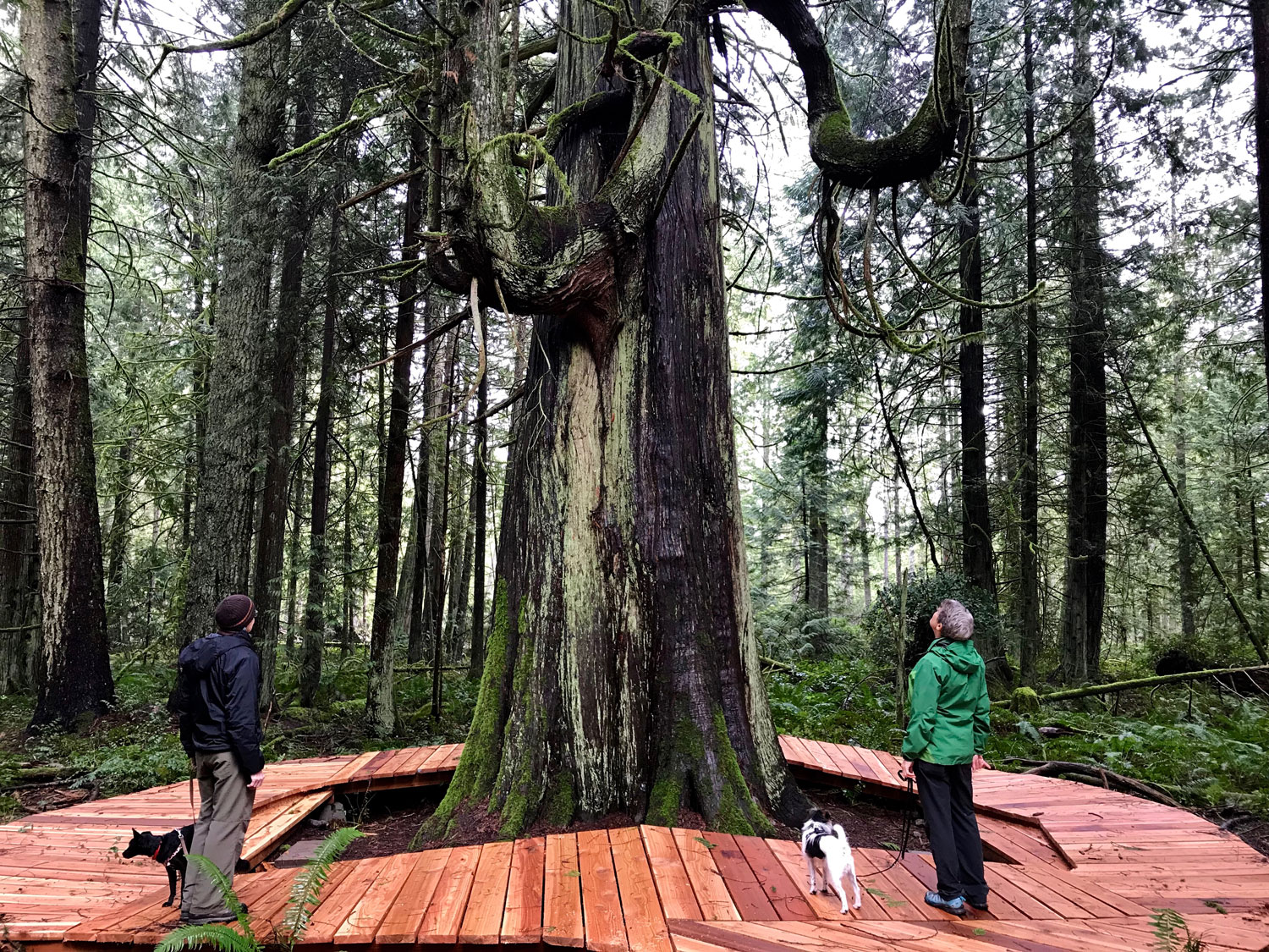
S’ul-hween X’pey (Elder Cedar) Nature Reserve
This beautiful 65-hectare (160-acre) nature conservation area lies north of North Road and west of Seawind Drive, holding some of the last remaining mature forest on Gabriola Island, with several large veteran Douglas-fir and western red cedar trees. There are wetlands scattered throughout, several small streams and high biodiversity, including some rare species. S’ul-hween X’pey is surrounded by Crown lands held as Treaty settlement lands for the Snuneymuxw First Nation. To allow the property to be protected for its ecological values, the Snuneymuxw graciously excluded it from their settlement claim.
The reserve is owned by the Islands Trust Conservancy (ITC), who have requested that the trails not be marked on the GaLTT map. If you explore the area (on foot only please, with pets leashed), check the map at the parking lot entrance, and please respect this special environment. Stay on the main trails and boardwalks within the Reserve boundaries. There is a trail from the north end of the 1.8-km loop that connects to surrounding Crown lands being held for the Snuneymuxw.
The Islands Trust and Gabriola’s Land Conservancy worked for many years to establish the S’ul-hween X’pey Nature Reserve in 2006. It was the first Free Crown Grant received from British Columbia by the Islands Trust Fund (now ITC).
In 2008 GaLTT was awarded a contract to help manage Elder Cedar according to ITC’s official Management Plan, and another contract to control invasive species and help with signage in the reserve. The protection covenant on Elder Cedar Nature Reserve is co-held by GaLTT and the Nanaimo Area Land Trust (NALT); GaLTT signed the covenant at their AGM in February 2012.
If you want to know how to pronounce S’ul-hween X’pey, the Hul’qumi’num name of this reserve, Nick Doe has made a sound file after being coached by Snuneymuxw Elder Ellen White.